Time to get this border situation straightened out once and for all. No, I'm not talking about that border. Not the one in the news all the time. Problems at the southern border require underlying issues like corruption, lack of economic opportunity, gun violence, unsustainable birth rates and this country's insatiable gluttony for cheap labor be addressed. Given the state of our politics do you really think that is going to happen? Me either.
So let's deal with the border between New York and Vermont instead. This should be easy, even fun by comparison. First we'll start with a bit of advice for my realtor friends: "STOP IT!" Stop offering Washington County property with 'Green Mountain views'. Yes we have beautiful views to the east (and west) but the mountains along the NY/VT border are the Taconics, not the Greens. The Green Mountains are further east in central Vermont and only visible as a distant horizon from a few places in Washington County.
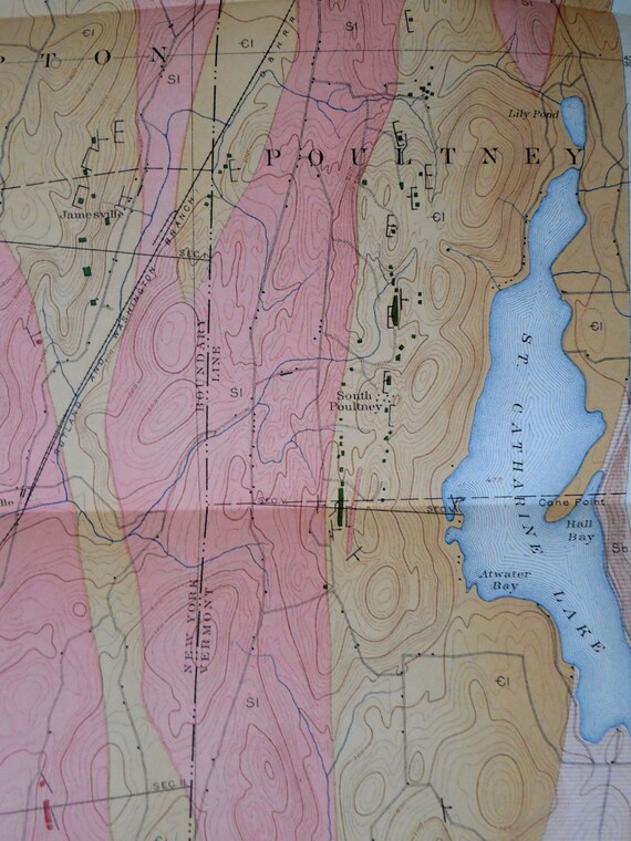
Find the Taconics? Look for the narrow strip marked 'T'.
The map is a bit off. The Taconics should fill in a little more towards
the 'A' Adirondacks where the purple border zig zags.
Next, let's put slate in its place. It's been hogging all the glory for too long. Yes, it's beautiful, useful and of great economic significance in a narrow belt from Granville up towards Poultney and Fair Haven. But most of the mountains that lie along and just east of Washington County's border are made of phyllite. May not be as well known but it's a pretty neat rock well worth getting to know and that's what we'll do in this post.
Detail of an old geologic map. The slate belt along the NY/VT border.
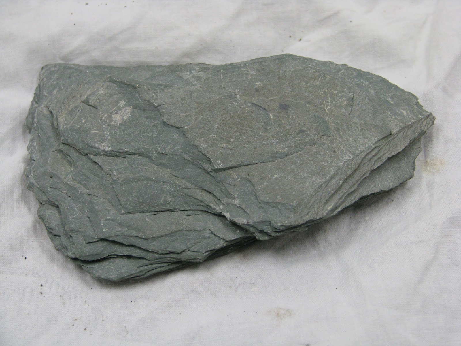
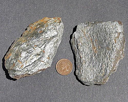
Phyllite
The slates and phyllites along the border originated as clay muds eroded off the edge of proto-North America some 500 million years ago. Over time they settled to the sea floor, were buried and then lithified into shale. Eventually they got caught up in a plate collision called the Taconic Orogeny that subjected them to heat, pressure and metamorphism. Metamorphic rocks are classified according to grade, or how much they have been changed. In the Taconics the grade tends to increase from west to east or from lower elevations to more mountainous. Thus we find the higher grade phyllite to the east of the slates and mudstones that underlie the lower hills to the west.
Foliation and fissility are two terms associated with these rocks. Foliation refers to a layering caused by mineral grains aligning from pressure and fissility describes a tendency to split into sheets. They are related characteristics seen in both slate and phyllite. Mica flakes are what give phyllite its satiny sheen, best seen in freshly exposed surfaces. Also diagnostic is a crinkled or wavy appearance. The color I've seen locally is a grayish-green. A very pretty rock.
So where do you see this beauty? Hikers will see outcrops on St. Catherine, Haystack, Mt. Antone, Equinox, Grass, the Folded Rock Trail and Two Tops among others. People looking for a roadside ledge should check out the cut on Rt. 313 between the rest area pull-off and the Vermont state line midway between Cambridge and Arlington. Watch for traffic (and falling rocks!) but you can usually find recently dislodged shards at the base of the cut. Thank the Battenkill and the DOT for slicing thru the ridge to let us look inside.
Rock and roll
My bike resting on the 313 phyllite ledge
The Phyllite Zone
A Google Earth screen shot from high above Cossayuna looking east
Merck Forest, Bear, Equinox, Red, the Battenkill Gap and Grass Mountain left to right


No comments:
Post a Comment